3D Reconstruction
Turn your captures into accurate, detailed 3D models with our advanced reconstruction technologies.
Precision Modelling
Our 3D reconstruction technology combines advanced photogrammetry and LiDAR analysis to create ultra-accurate digital models of your infrastructure.
Millimetre Precision
Faithful reconstruction with an error margin below 1 mm
HD Textures
Photorealistic rendering with 4K textures
Multiple Formats
Export compatible with all standard software
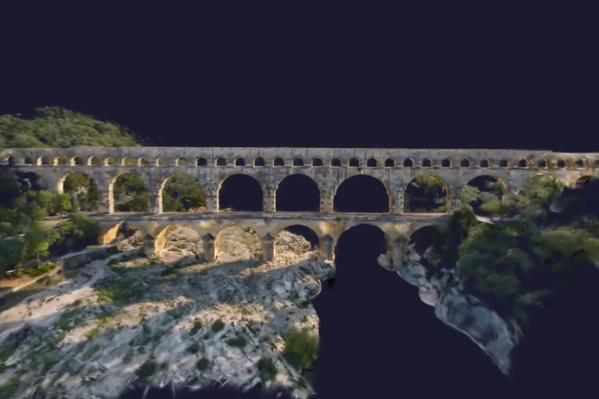
Reconstruction Process
Acquisition
Multi-source data capture
- High-resolution photos
- LiDAR scans
- Precise GPS data
Processing
Advanced reconstruction algorithms
- Automatic alignment
- Mesh generation
- Texture mapping
Export
Formats suited to your needs
- BIM models
- 3D meshes
- Point clouds